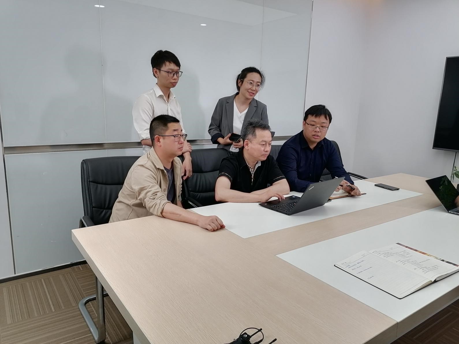
Chen Lin, Yu Haojia and Liao Chengrong, doctoral candidates of Southwest Jiaotong University from the VGE (Virtual Geographic Environment) team led by Prof. Zhu Qing and Prof. Hu Han, won the silver medal at the 2020 Digital China Innovation Contest · Digital Government — Innovation Application Competition of Building Intelligent General Investigation, with a prize of RMB 100,000 in cash.
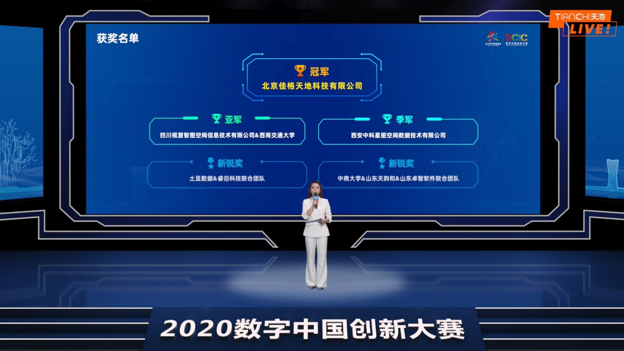
Hosted by the Digital China Summit Organizing Committee and organized by Alibaba Cloud Computing Co., Ltd., Digital China Innovation Contest 2020 is a high-end professional core event as well as an essential component of the Digital China Summit. It has attracted 4,494 teams from 16 countries and regions, with a total of 5,016 contestants. After the preliminary contest, quarter- and semi-finals, 21 teams working on 4 topics were qualified for the finals. The finals were held in the form of “cloud roadshow”, with one champion, one runner-up and one second runner-up for each topic.
Digital China Innovation Contest 2020 · Digital Government, as one of the main themes of this contest, focuses on four areas, namely smart ocean, government service, smart community, and urban management, aiming to enhance government governance capacity and upgrade its level in response to the national strategy of “Digital China”. Among them, the Innovative Application Competition of Building Intelligent General Investigation, based on the 200-square-kilometer high resolution 2 remote sensing imagery and its marked data, requires the contestants to train their models to extract rapidly and accurately the building layout information on a large scale with the new technology. Fujian Province houses a variety of typical building complexes, which provides excellent patterns for the research of building extraction methods in this competition, including various living environments and land-use scenarios of the cities, towns and villages.
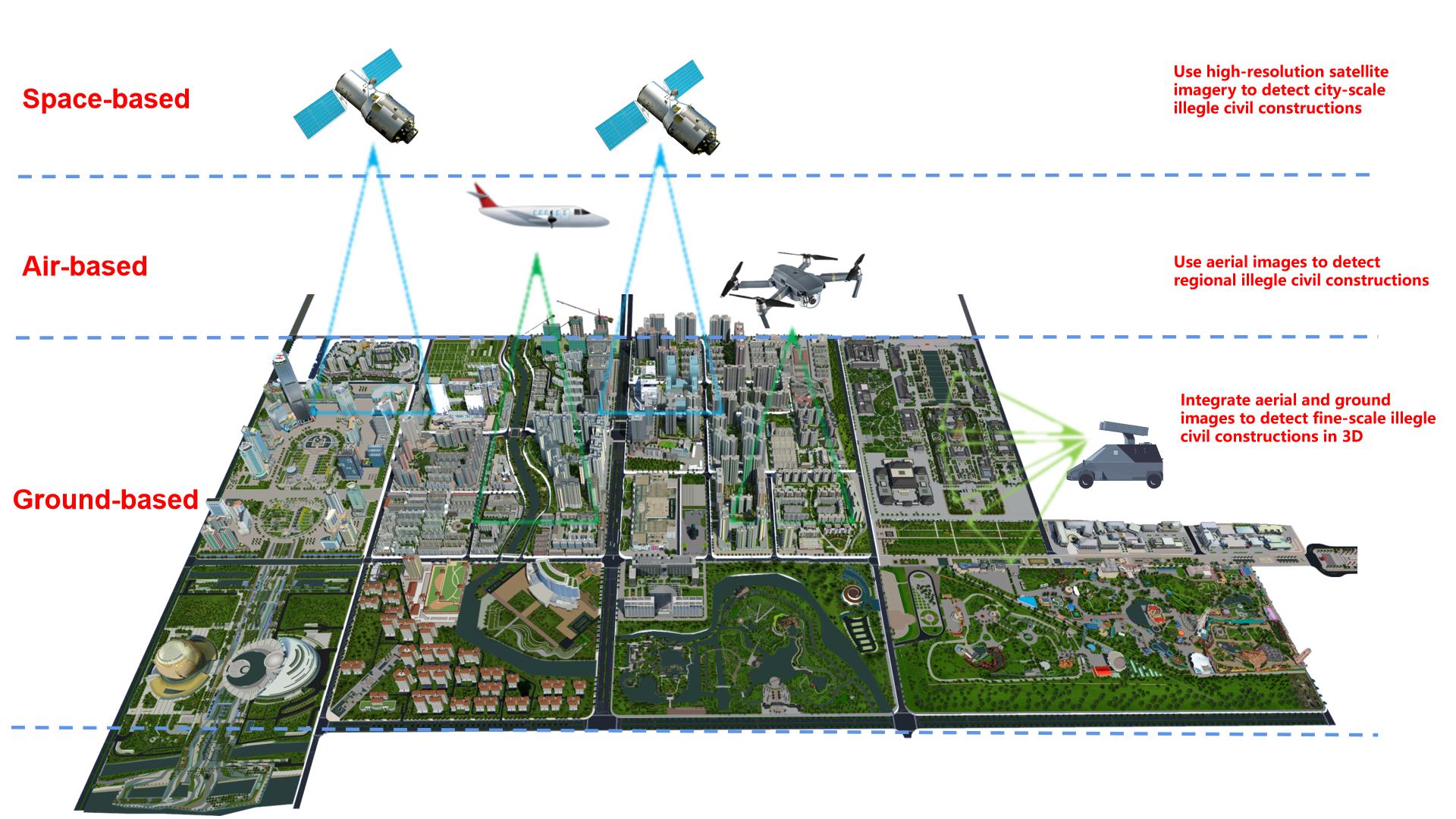
The VGE team of our university proposed the scheme of “Integrated Space-, Air- and Ground-based Detection for the Precise Verification of Illegal Civil Constructions” and combined the two-dimensional imagery and three-dimensional models to grapple with the low precision and efficiency of traditional and manual general investigations. More importantly, such a scheme can help ameliorate “difficulties in the detection, prevention, identification and demolition” of illegal buildings in urban governance, reduce the workload of on-site surveying and mapping for relevant government departments, and improve the efficiency and accuracy of building extraction. It has not only innovated the algorithm and technology, but also created high practical application value, drawing the attention of many technological media like 36Kr, Alibaba Cloud, Chuangtoutiao, etc.
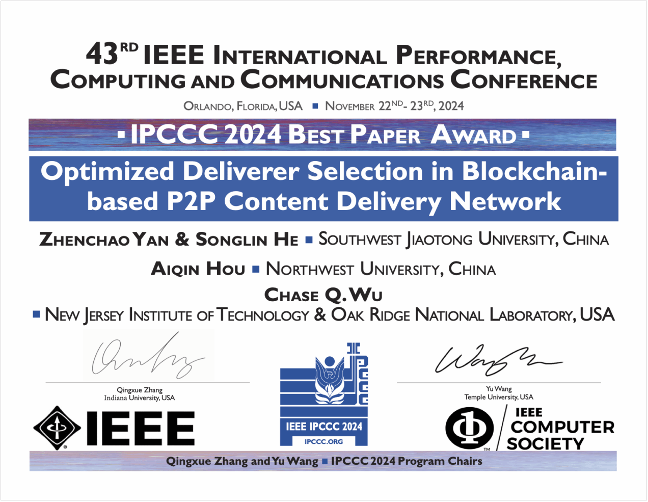 He Songlin Granted the Best Paper Award at IEEE IPCCC 2024
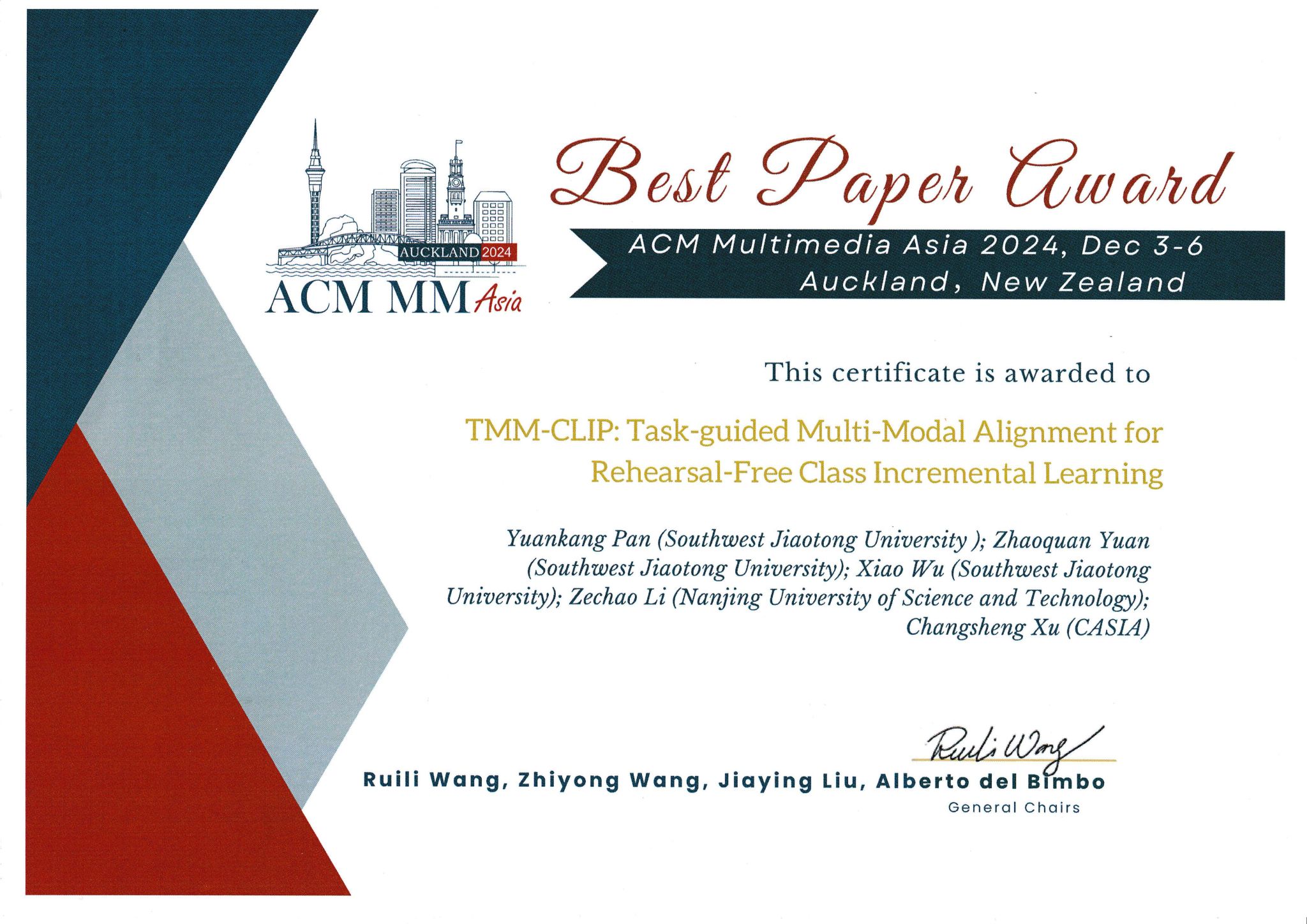 Prof. Wu's Team Bestowed Best Paper Award at ACM Multimedia Asia 2024
 Alumnus Xi Yue Graced the Cover of 2024 Forbes 30 Under 30 China List
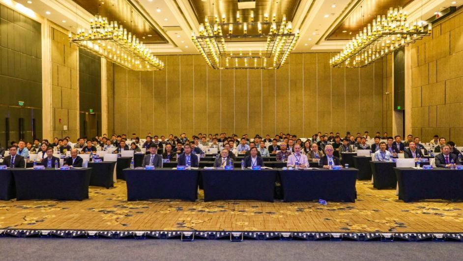 The 15th Asia-Pacific Symposium on Engineering Plasticity and its Applications
 General Education Course on “Frontiers in AI Applications: Methods, Thinking, and Ethics”